

For emergency response services, every second counts. And when it comes to shaving critical minutes and seconds off response times in urgent situations, the quality of map data and mapping solutions can make all the difference.
Dispatchers responding to emergency calls have shared that their system often flashes a ‘location isn’t on the map’ message due to obsolete and low-quality map data. From being unable to find the streets on their maps to their systems’ inability to trace the locations of emergency calls accurately, the lack of location data has been slowing down emergency response services across the world for decades.
The two main goals of optimizing fleet dispatch and navigation for such services are to ensure that access to emergency services remains uninterrupted and that help arrives on time, regardless of the location. This is very difficult to achieve with low-quality map data and plug-and-play rigid solutions — especially in poorly mapped areas.
In most cases, dispatchers rely on the driver’s own experience and directions from locals. The one-map-fits-all approach rarely meets the accuracy, customizability and cost standards that these critical scenarios demand.
As emergency response planners, you’ll benefit from a map data platform that can provide life-saving, fresh and customized map data, along with innovative mapping APIs and tools.
Here are 4 ways you can use NextBillion.ai’s accurate and reliable map data platform to speed up emergency response time:
1. Get custom map data and points of interest (POIs)

Emergency responders need validated and dispatchable locations to do their job efficiently.
The maps they use must reflect vital road and navigation attributes. For example, police dispatchers need precise location information and accurate POIs to navigate efficiently to impacted areas. Ambulance and fire department drivers will benefit from maps that display special routes accessible to emergency responders.
With NextBillion.ai, you get access to tailored map data and custom POIs that’ll help you build real-time dynamic maps for emergency responders and dispatchers.
Our ability to leverage proprietary and historical data to build custom map layers can improve response times exponentially. Drivers and responders are better informed about local routes and POIs than any generic third-party map data. And historical speed profiles and real-time data help generate the most accurate ETAs.
Our solution allows you to tag specific POIs such as house numbers, correct entry and exit points, locations of fire hydrants, infrastructure lines, pipe networks, unmapped roads, service roads, hospitals and important landmarks. This can, in turn, help you calculate accurate ETAs, compute better routes, and improve your last mile and last yard navigation.
2. Create incident-specific custom dispatch rules

A lot of factors affect emergency dispatchers’ decision-making while responding to a call for help. The aerial distance, on-road distance and time, asset availability and crisis response window are a few of the many elements that need to be considered to find the best fit for dispatch.
With NextBillion.ai, you can create custom dispatch rules for first responders. These parameters can be tailored to the type of incident and nearby facilities. A map stack layered with custom rules improves dispatch management, call routing and navigation experiences across all geographies, including rural and remote areas.
For instance, applying a blanket rule to all emergency calls is inefficient because each incident’s gravity varies. Custom dispatch rules will help dispatchers make informed and timely decisions about the kind of response unit they should send to a given emergency. It will also help them allocate units based on the response unit availability, the response time window, and the expertise (qualification and experience of officers/medical experts) required at the accident site.
Our Directions and Distance APIs enable you to optimize dispatch for incident response in real time and generate accurate ETAs. You can fix noisy and inaccurate GPS signals with NextBillion.ai’s map-matching Snap-to-Road API.
3. Find the fastest responders and track your fleet in real time

Fleet visibility is crucial for better dispatch, travel time estimates and asset utilization. You’d need a suite of map APIs that can help you track your fleet even in areas with fluctuating network connectivity and limited/inaccurate GPS data.
Detailed map data, coupled with our AI-powered APIs, improves fleet visibility for control rooms, dispatchers and decision makers.
NextBillion.ai’s Geocoding (reverse and forward geocoding with search functionality) API delivers high location accuracy across geographies. It’ll let your routing engine locate all the vehicles in your fleet, find the nearest responder and dispatch them to the incident site at a moment’s notice.
Our Geofencing API enables you to set up virtual boundaries and define parameters based on distance, time, vehicle type, geographic location and road attributes. It will help you to detect the movement of your fleet and route deviation — whether your vehicles are within those boundaries or outside of them.
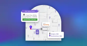
Travel distance/time-based dynamic geofences, along with our Distance Matrix and Navigation APIs, will enable you to notify the responders on site when the dispatched support, such as ambulances and fire trucks, is about to arrive.
Real-time fleet tracking also allows you to monitor the safety of your responders as they enter/exit the emergency site by giving you updates on route deviations, collisions, etc. Additionally, the data generated during this exercise can be utilized by your mapping platform to evaluate and improve future emergency response plans.
4. Create optimized routes and schedules

Typical plug-and-play routing APIs won’t work for incident response use cases. You’ll need a solution that can optimize routes in real time as per live traffic patterns and road incidents.
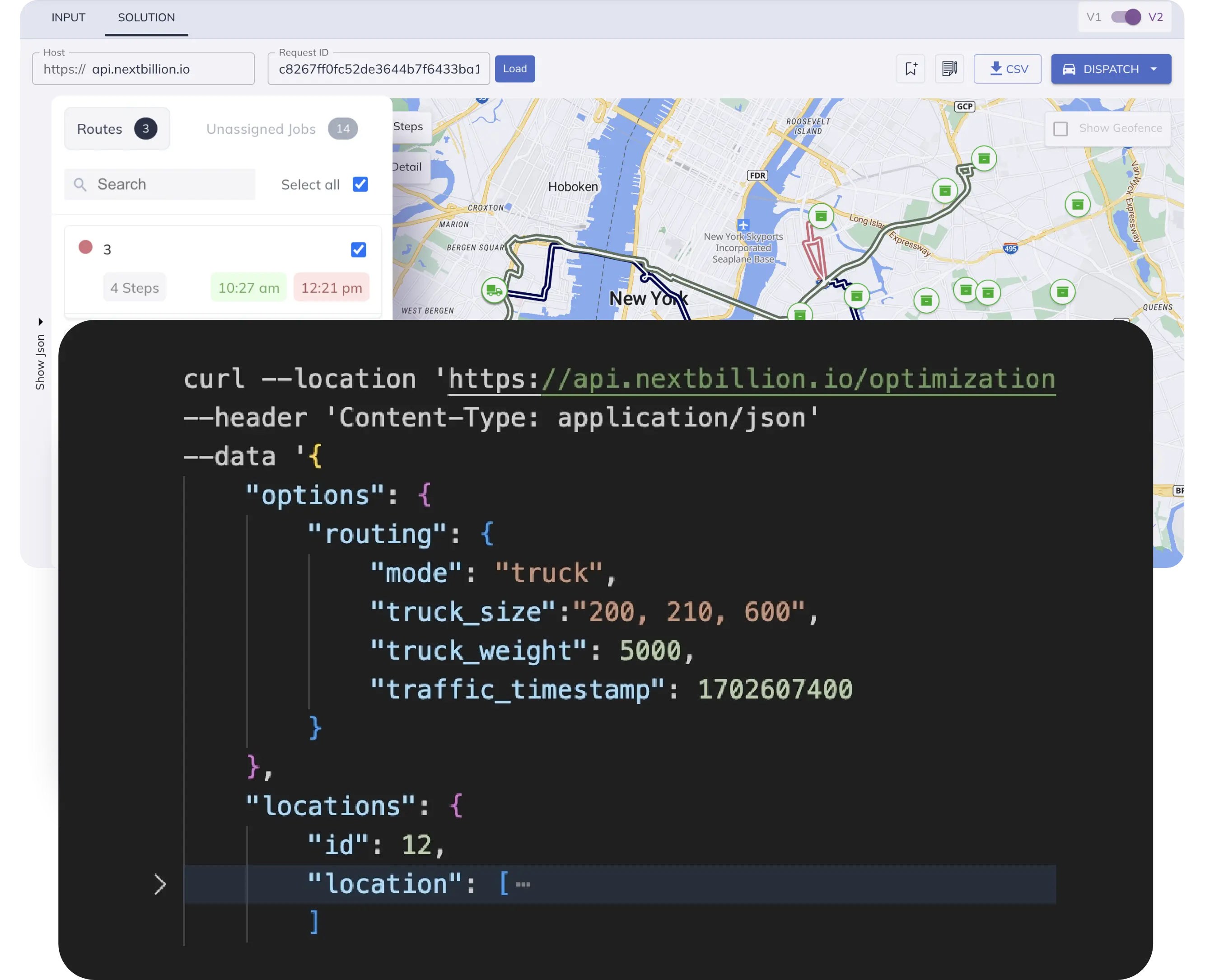
NextBillion.ai’s Route Optimization API takes into account every routing variable that directly impacts emergency response times. For example, responders often need permission to drive on the wrong side of the road and make restricted turns to reach the scene of the emergency. The optimized routes suggested by our API will highlight if the driver is allowed to make these maneuvers in a particular town/city/geography.
Our API computes optimal routes by taking proprietary data insights, real-time traffic data, vehicle types, driver profiles, fleet constraints, traffic infrastructure and other important elements into consideration.
To ensure that your fleet never hits a roadblock, we enhance route accuracy via our Road Restriction tool. The flagship mapping tool helps to reflect temporary road closures/restrictions on the map and recalculate a new route. NextBillion.ai’s mapping solutions ensure that emergency responders get real-time, smart maps that’ll help them accurately find locations without any glitches and reach those in need faster. The APIs and tools are designed to improve emergency services’ most important metric: response time — that too, at scale.
Schedule a call with our team today to learn more about how NextBillion.ai’s Emergency Services Solution can help your city department.
Ready to get started?
Talk to SalesGet routes that need no editing or on-road improvisations
Ready to up your game in scheduling, dispatch, and routing?
Request a Demo